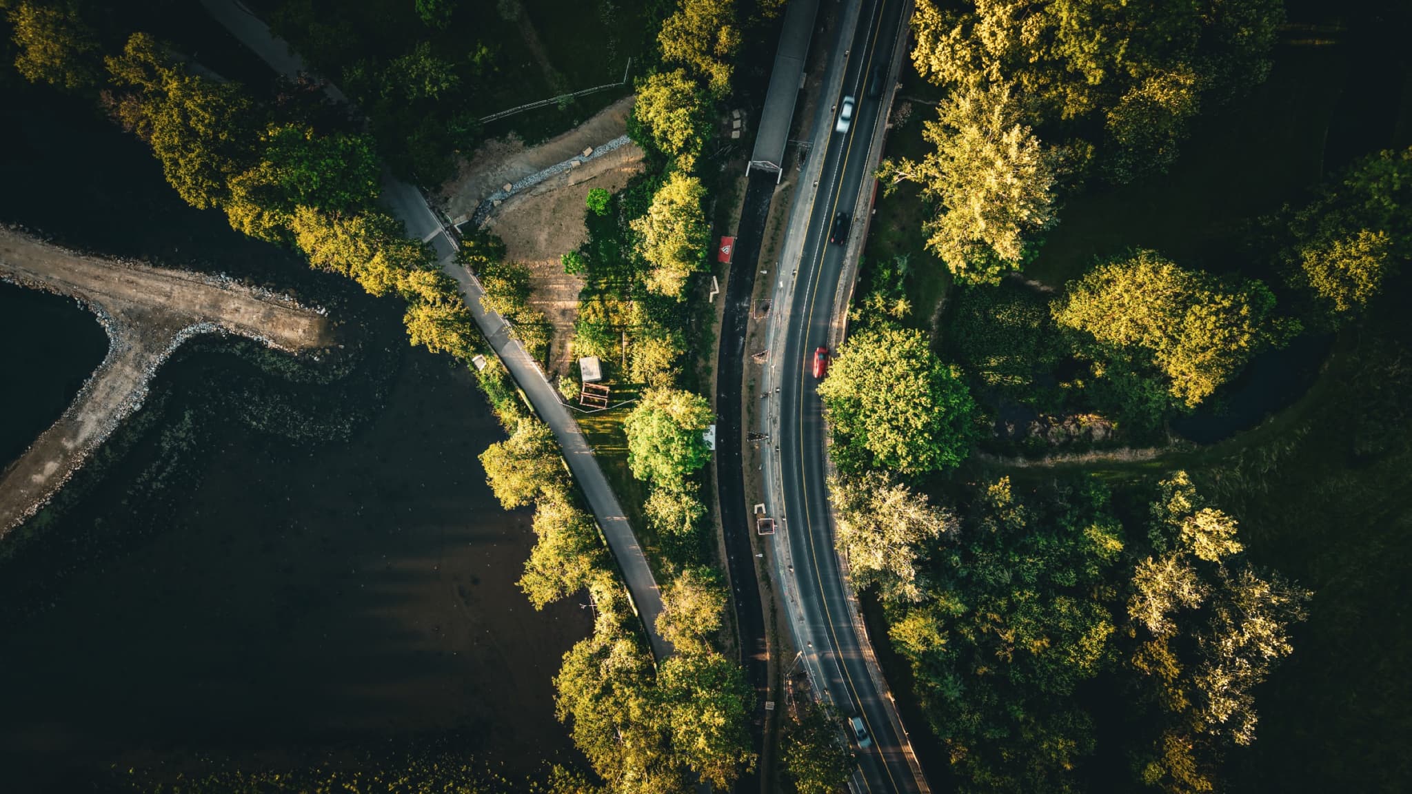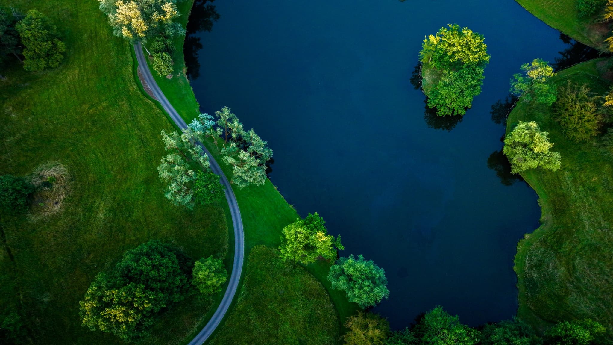
Kockelscheuer, Luxembourg · 2026
Two Lakes
Series · 06 frames
Two retention lakes built for stormwater, at the exact point where Luxembourg City stops being a city.
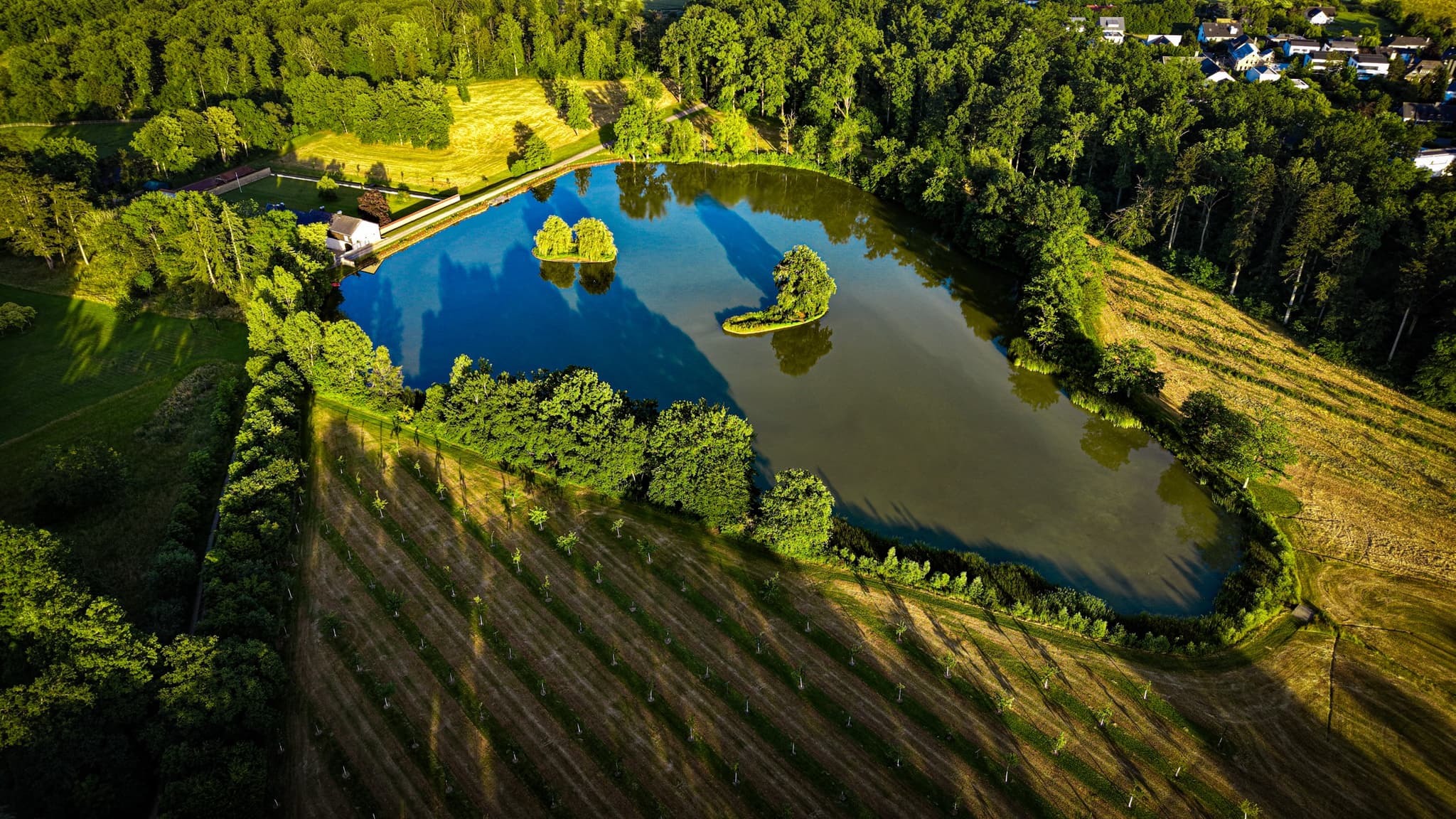
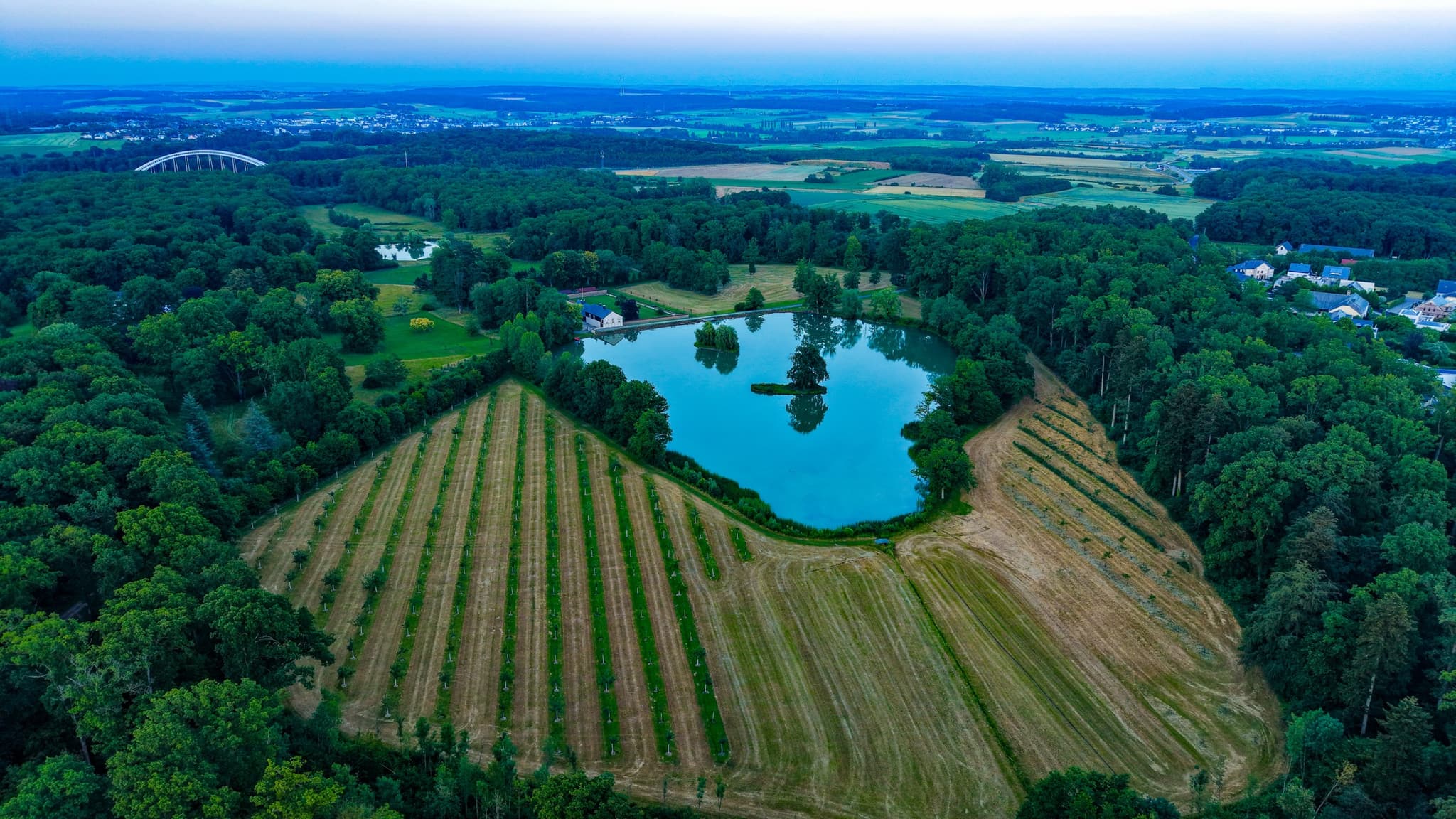
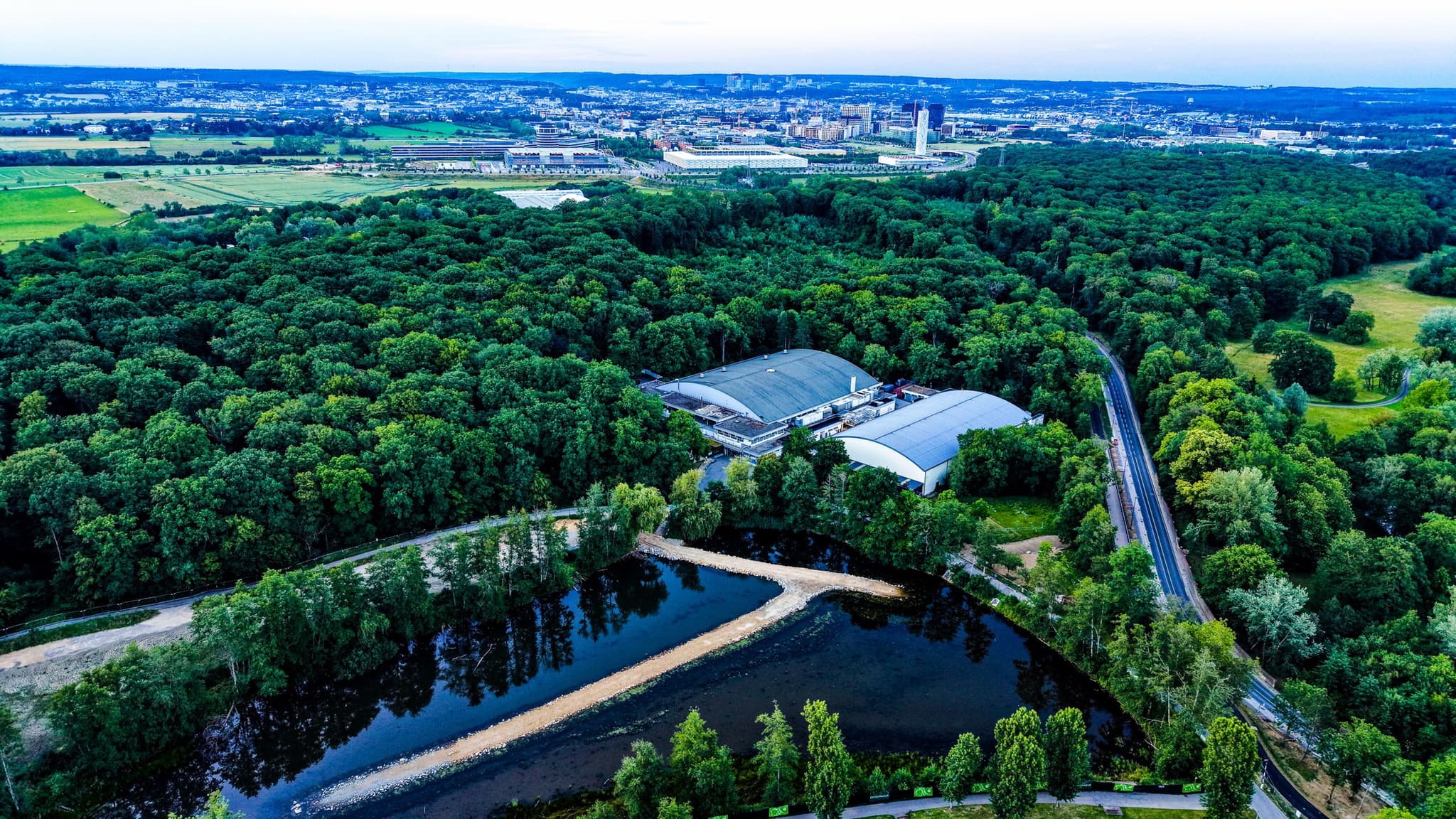
Aerial photographs of Kockelscheuer park at the southern boundary of Luxembourg City. The two retention lakes — built in the 2000s to manage stormwater from the adjacent Cloche d'Or development — sit at the point where the capital's southward expansion meets the agricultural communes of Roeser and Hesperange. Photographed in June 2026 at 50–100 metres altitude with a DJI Mini 5 Pro.
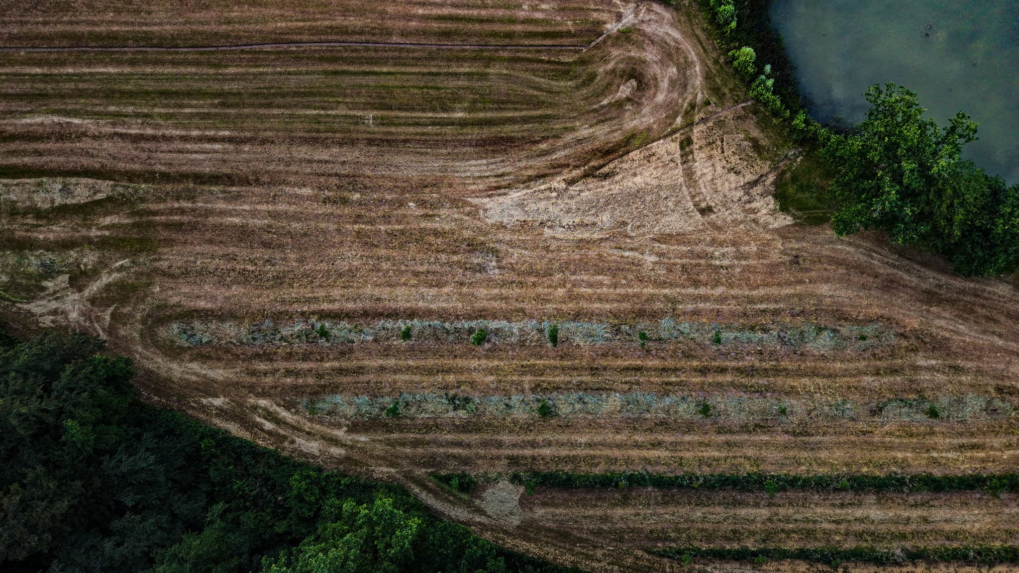
The Cloche d'Or is Luxembourg's largest urban development project: over a hundred hectares of glass, retail, and logistics at the city's southern edge. The retention lakes that manage its runoff are the last piece of open water before the agricultural fields begin. Those fields are worked on short-term leases in the path of a development front that moves one planning cycle at a time.