Luxembourg City is two cities. The first sits on a sandstone plateau — the old town, the Grand Ducal Palace, the cathedral, the boulevards. The second runs forty metres below it, hidden inside a gorge carved by the Pétrusse river over ten thousand years. For six centuries the drop kept enemies out. The Spaniards held the cliff. The French held the cliff. The Austrians held it. After the Treaty of London in 1867 forced the city to demolish its own fortifications, the gorge became a park. The walls that remained became the backdrop.
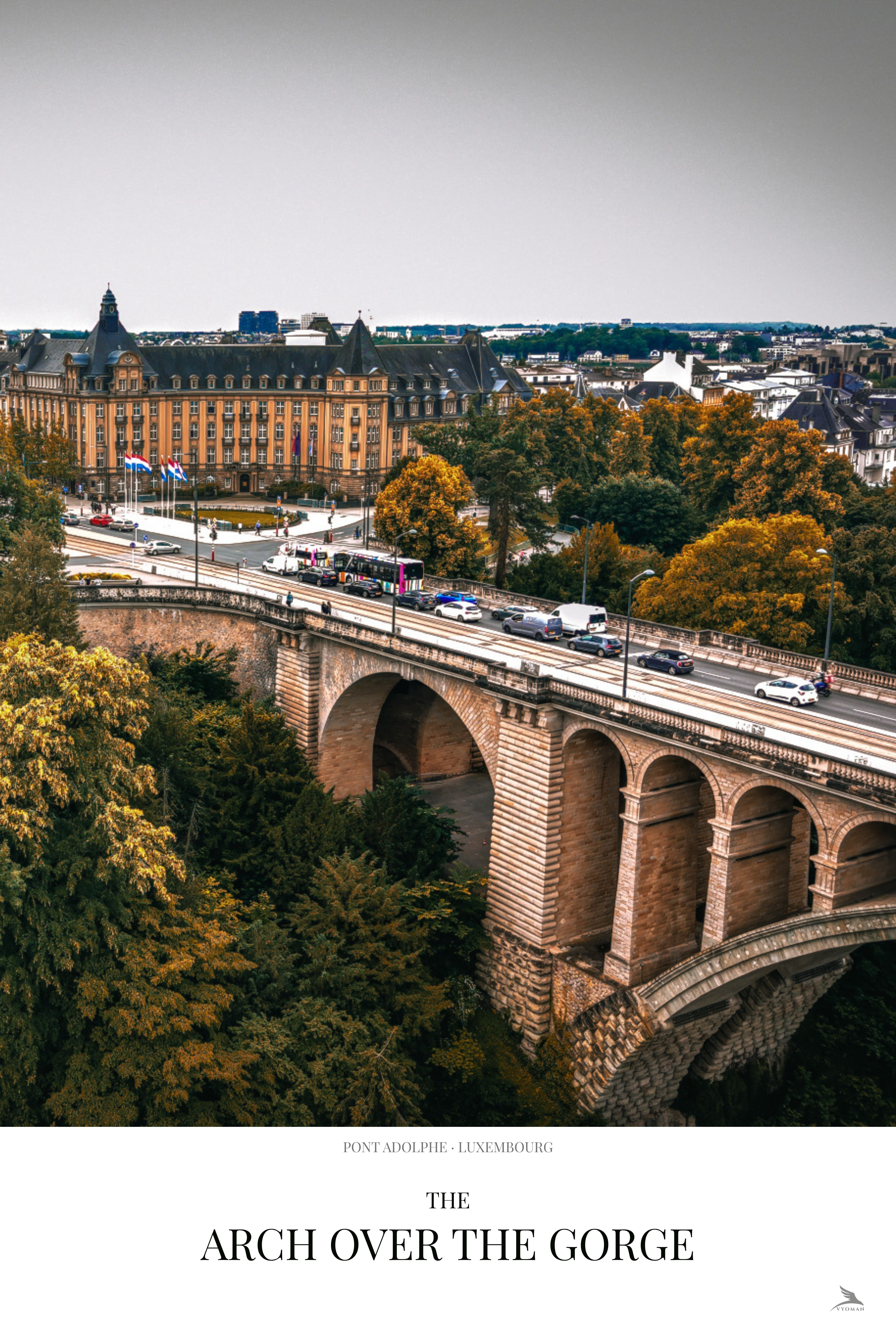
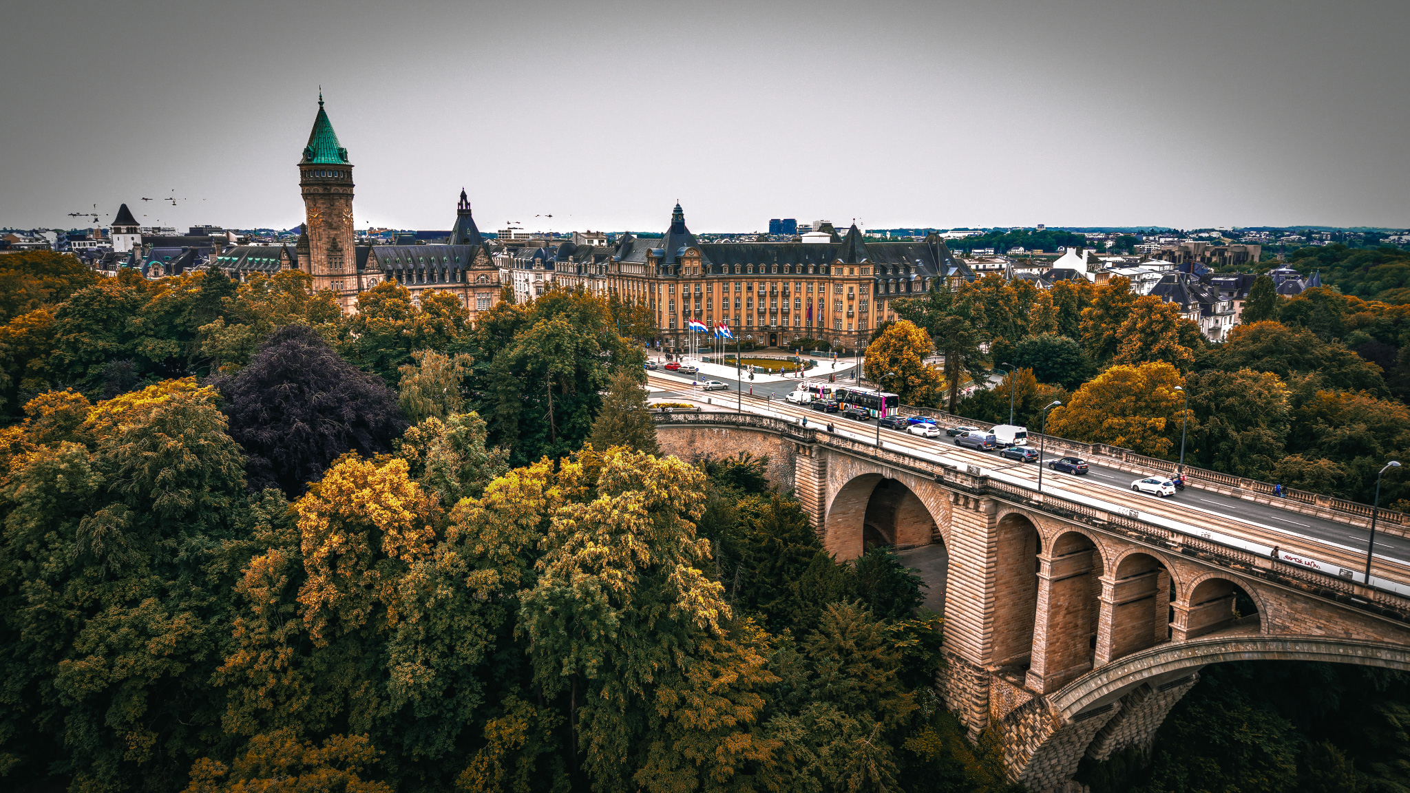
The Pont Adolphe from 40 metres. The arch was designed in 1900 to carry horse traffic over a gorge that had kept armies out for six hundred years. The Caisse d'Épargne tower — green copper spire, 1913 — marks the edge of the old city above.
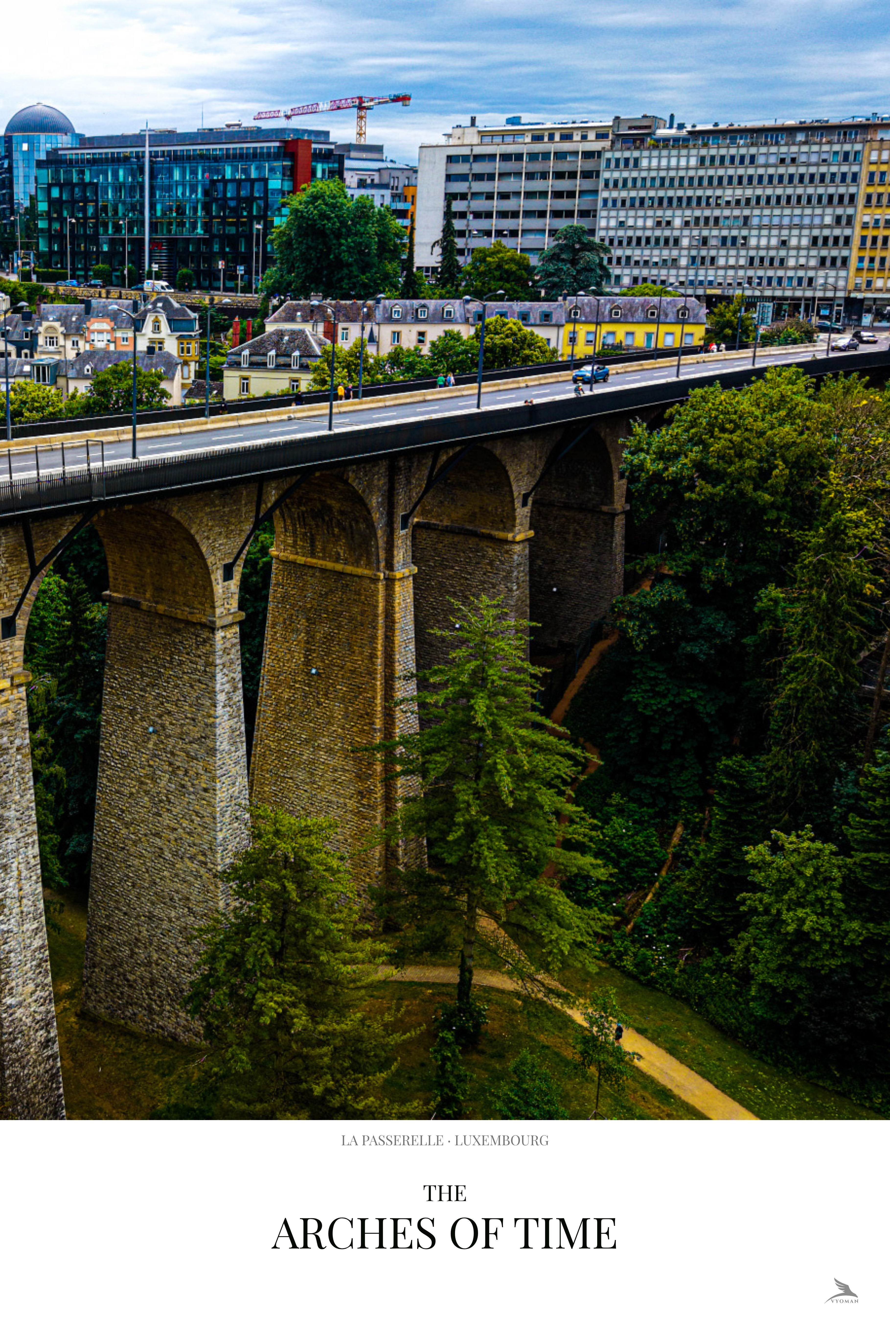
PrintFrom the air, the gorge barely reads as a gap. The summer canopy closes over it. The Pétrusse runs unseen under a thick ceiling of elm and lime and plane tree. What you notice instead are the bridges — two of them, each solving the same problem of crossing, each from a different century. The Passerelle is 1861: 290 metres, 24 arches, an unbroken rhythm of pale stone across the width of the valley. The Pont Adolphe is 1903: a single arch, 84 metres of span, the longest stone arch in the world when it was built, named for a Grand Duke and carrying horse traffic — and now cars — over a void that previously required a long descent and a longer climb back up.
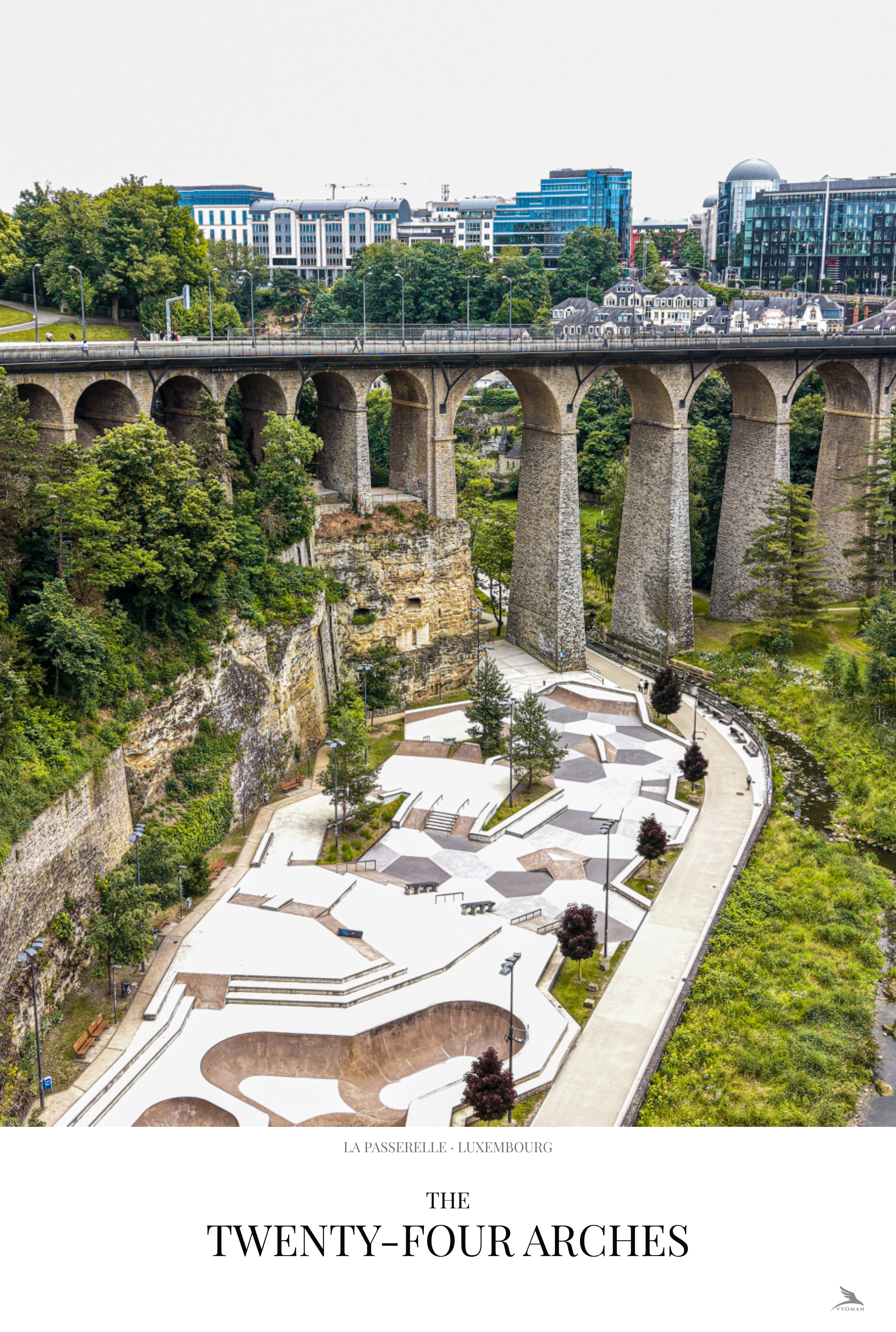
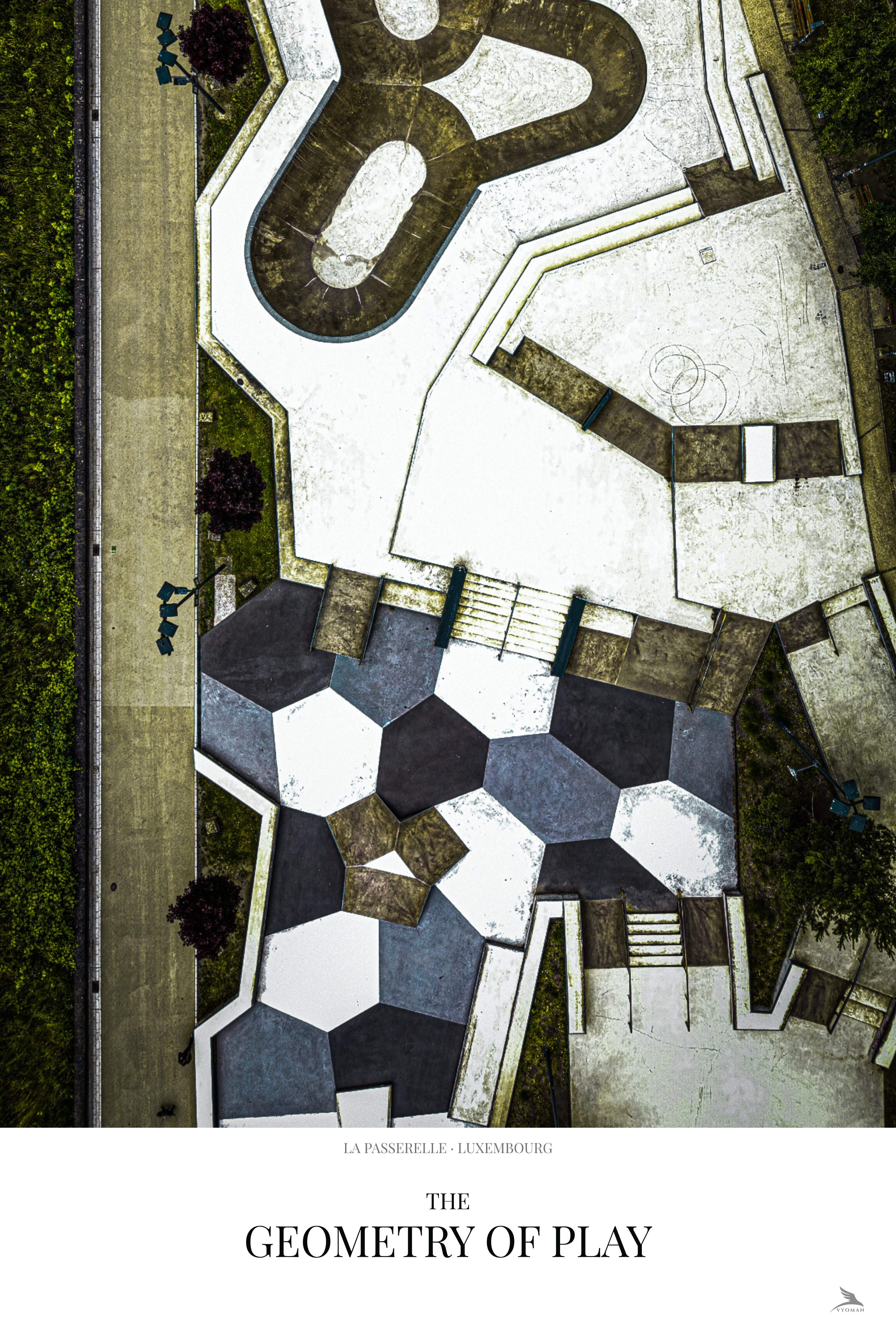
The skate park arrived in 2021. It sits directly under the Passerelle viaduct, in the shadow of arches that predate it by a hundred and sixty years. The pump track and the hexagonal basketball court read from above as pure geometry — curves and hexagons drawn on concrete, the kind of form that only makes sense from altitude. From the ground it is a skate park. From the air it is something else: evidence that a city keeps finding uses for the spaces its infrastructure leaves behind.
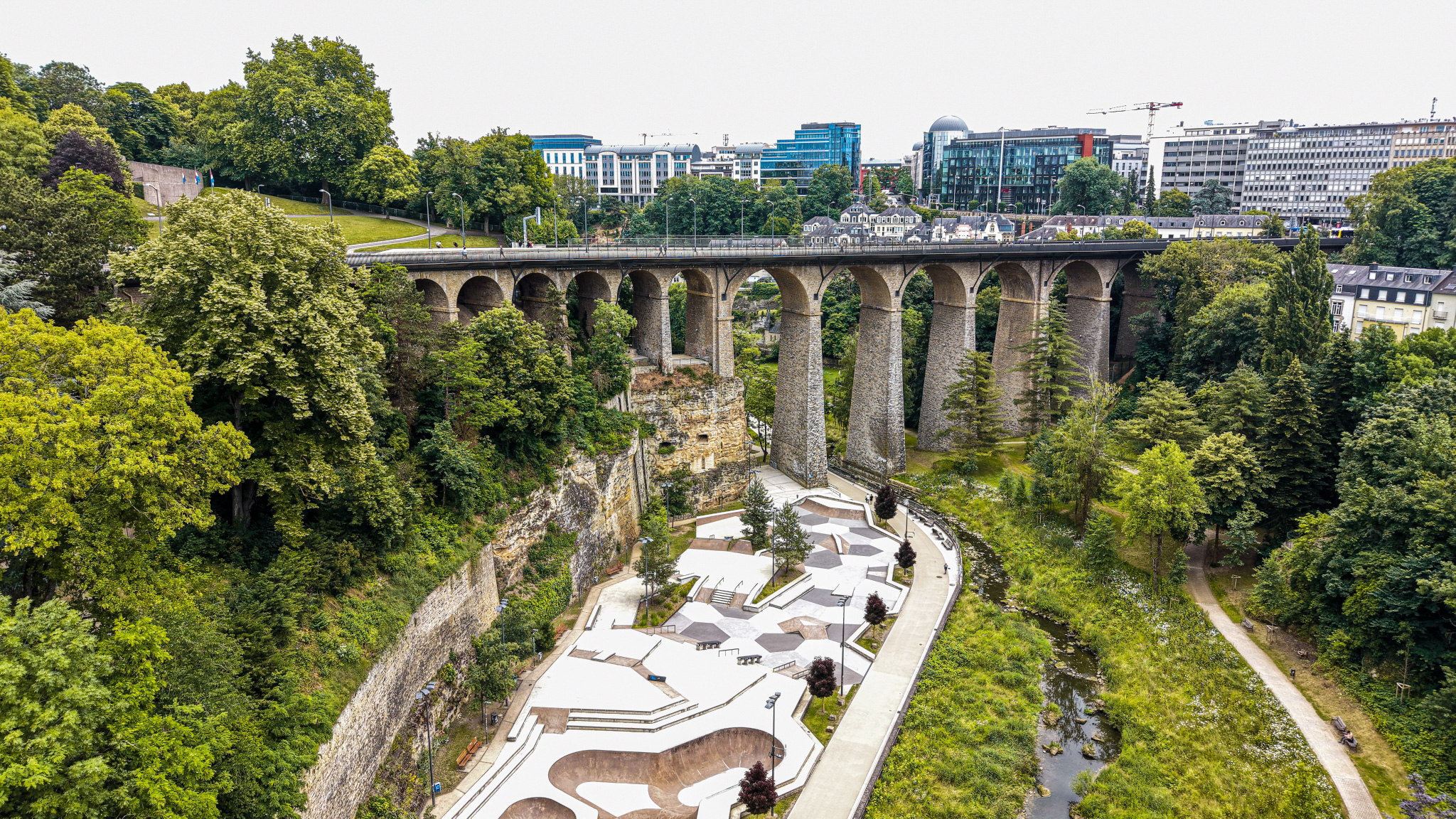
The Passerelle viaduct — 24 arches, 1861 — with the skate park directly below. The viaduct was built for steam engines. The skate park arrived a hundred and sixty years later. The stone did not notice.
Print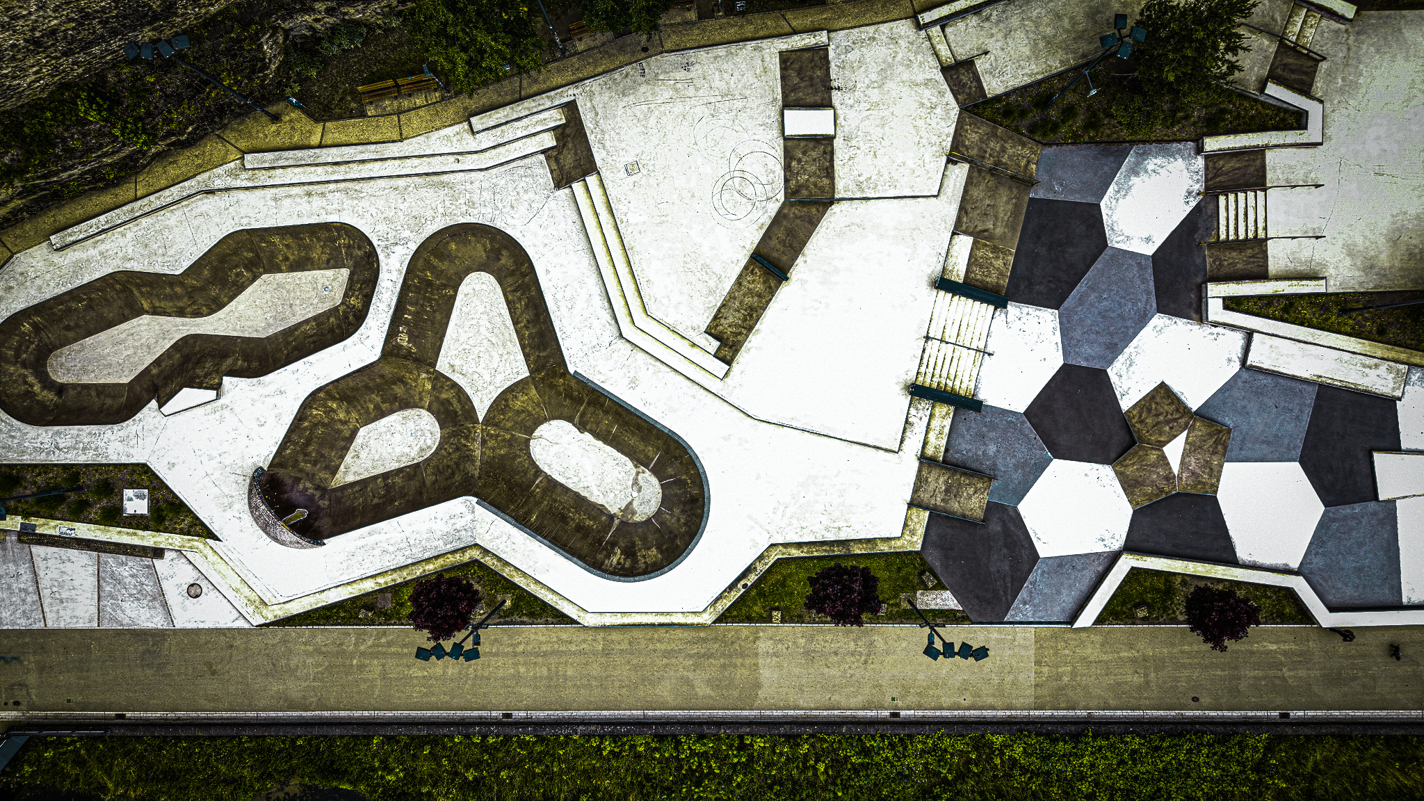
Straight down onto the pump track and basketball court. At this altitude the skate park stops being a recreational space and becomes a diagram — curves and hexagons on concrete, readable only from above.
PrintThe Belle Époque villas on the upper edge of the gorge were built when the fortifications came down and the land became property. Pink render, yellow limestone, copper green rooftops — facades that face the gorge they were built to overlook, now half-swallowed by the same trees the nineteenth century planted to make the old military ditch look like a garden. Luxembourg City does not discard its layers. It adds to them, and then covers them in leaves.
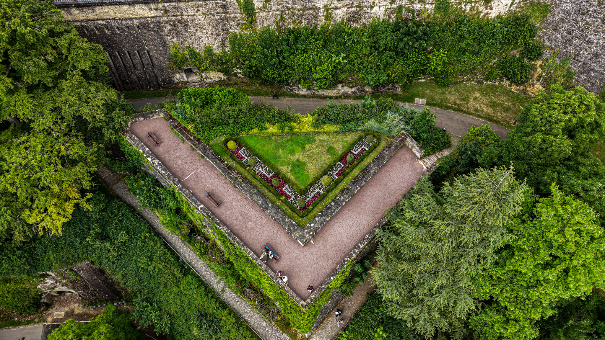
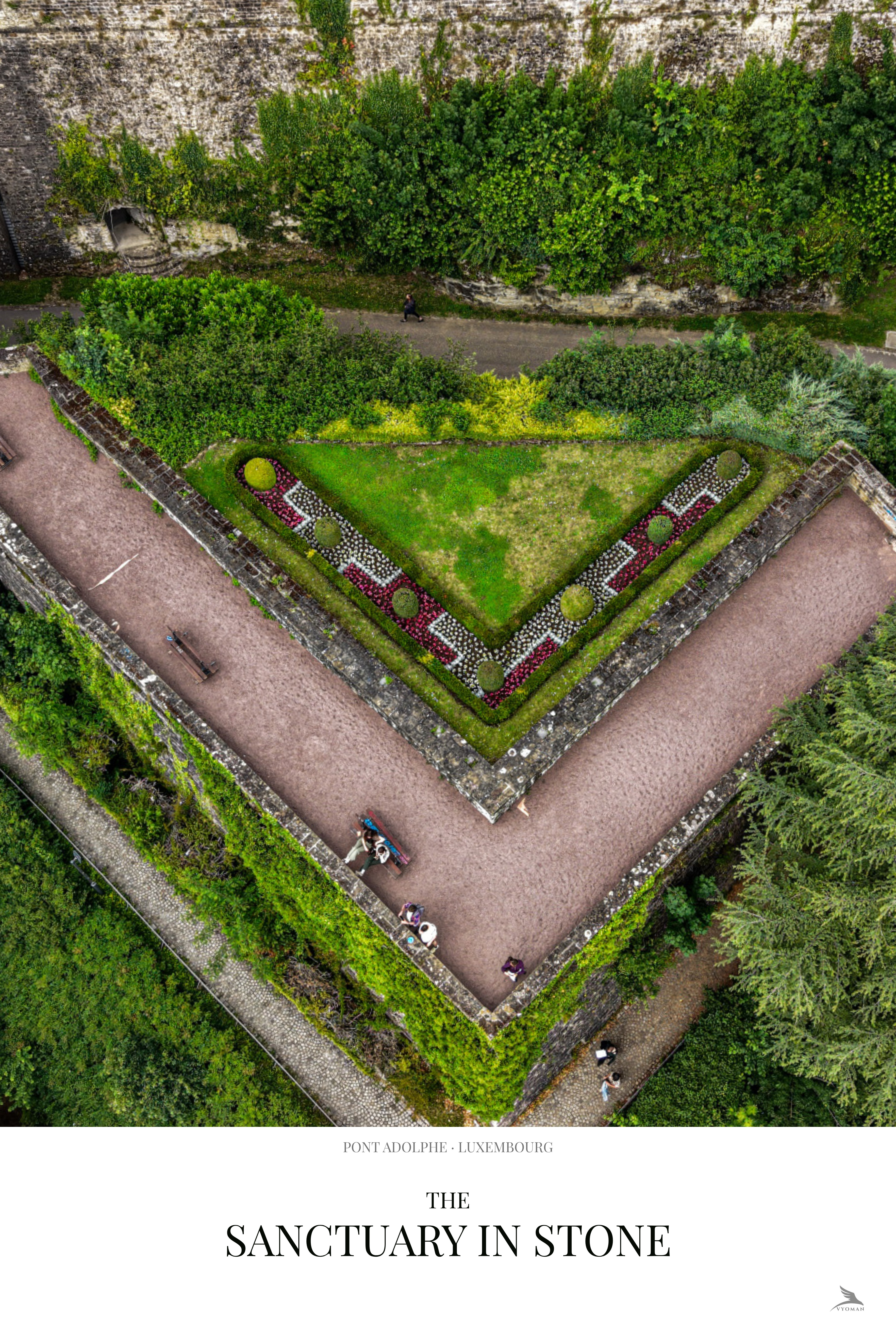
A bastion garden in the old fortification walls. The triangular geometry is sixteenth-century military engineering — the arrow-point shape deflects cannonfire. The original purpose is gone. The shape remains.
Print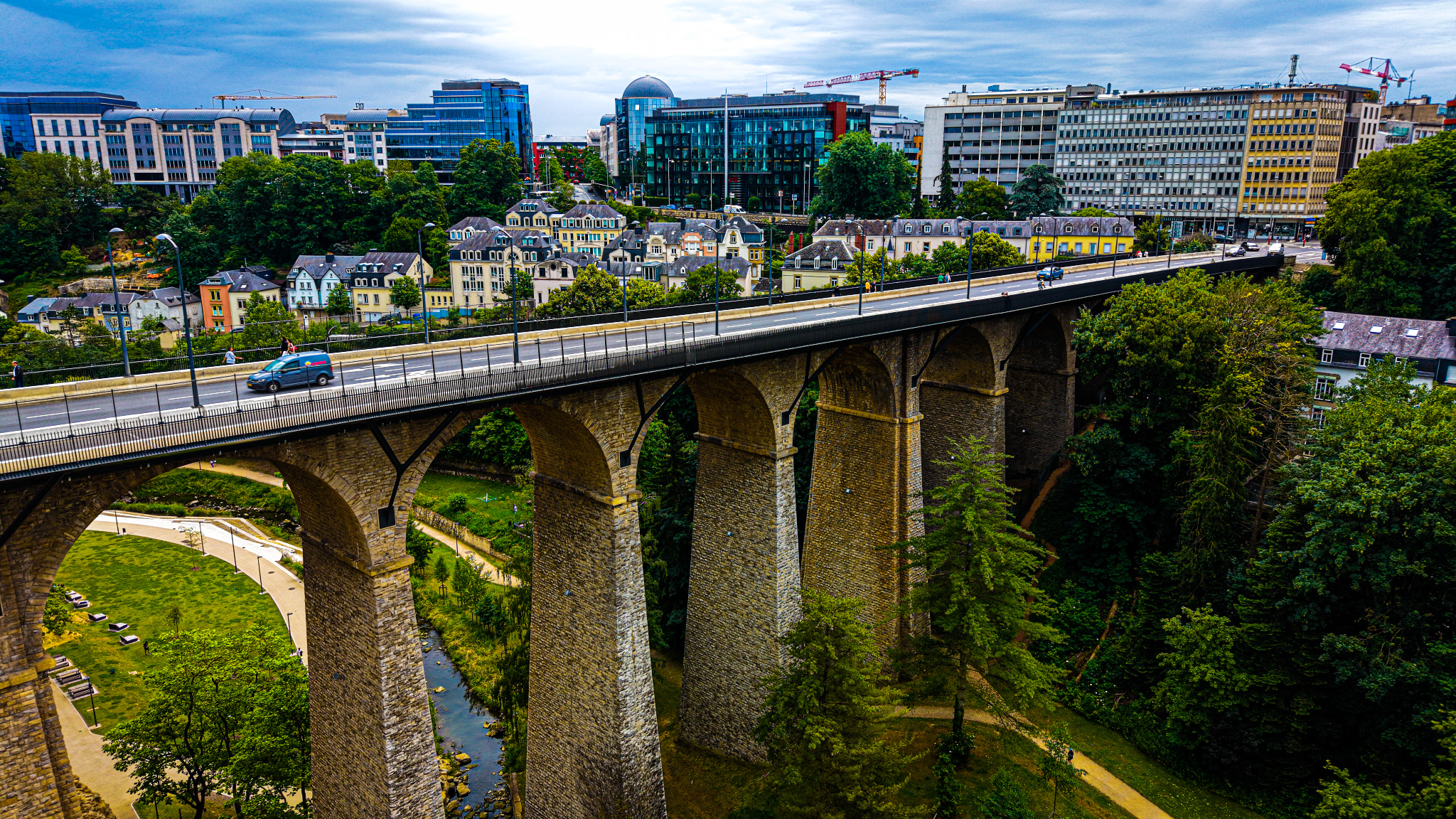
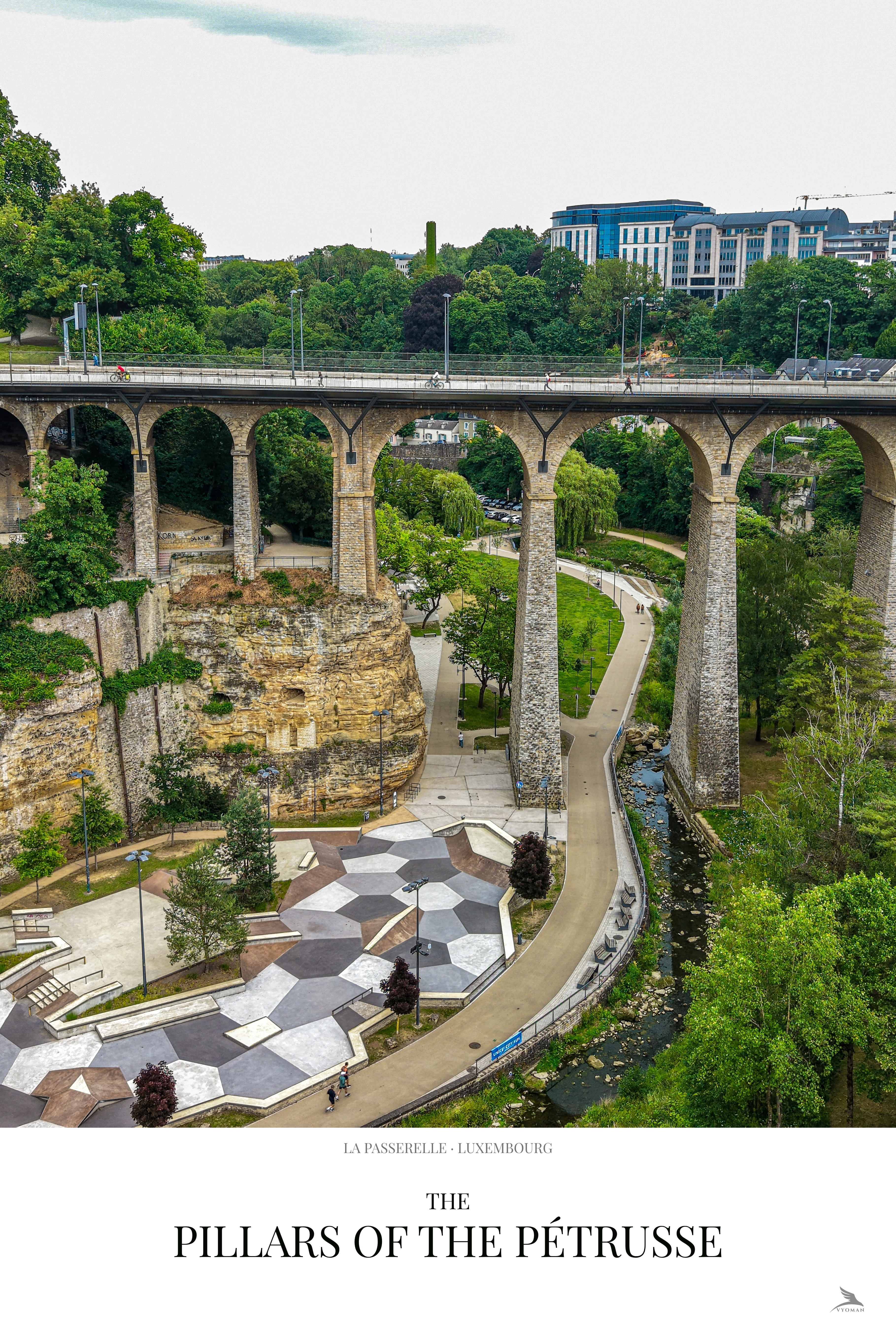
The Passerelle from the side — the full height of the pillars visible, the Alzette below, the residential quarter of Hollerich above. 290 metres of viaduct that solved a geography problem and then became a landmark.
Print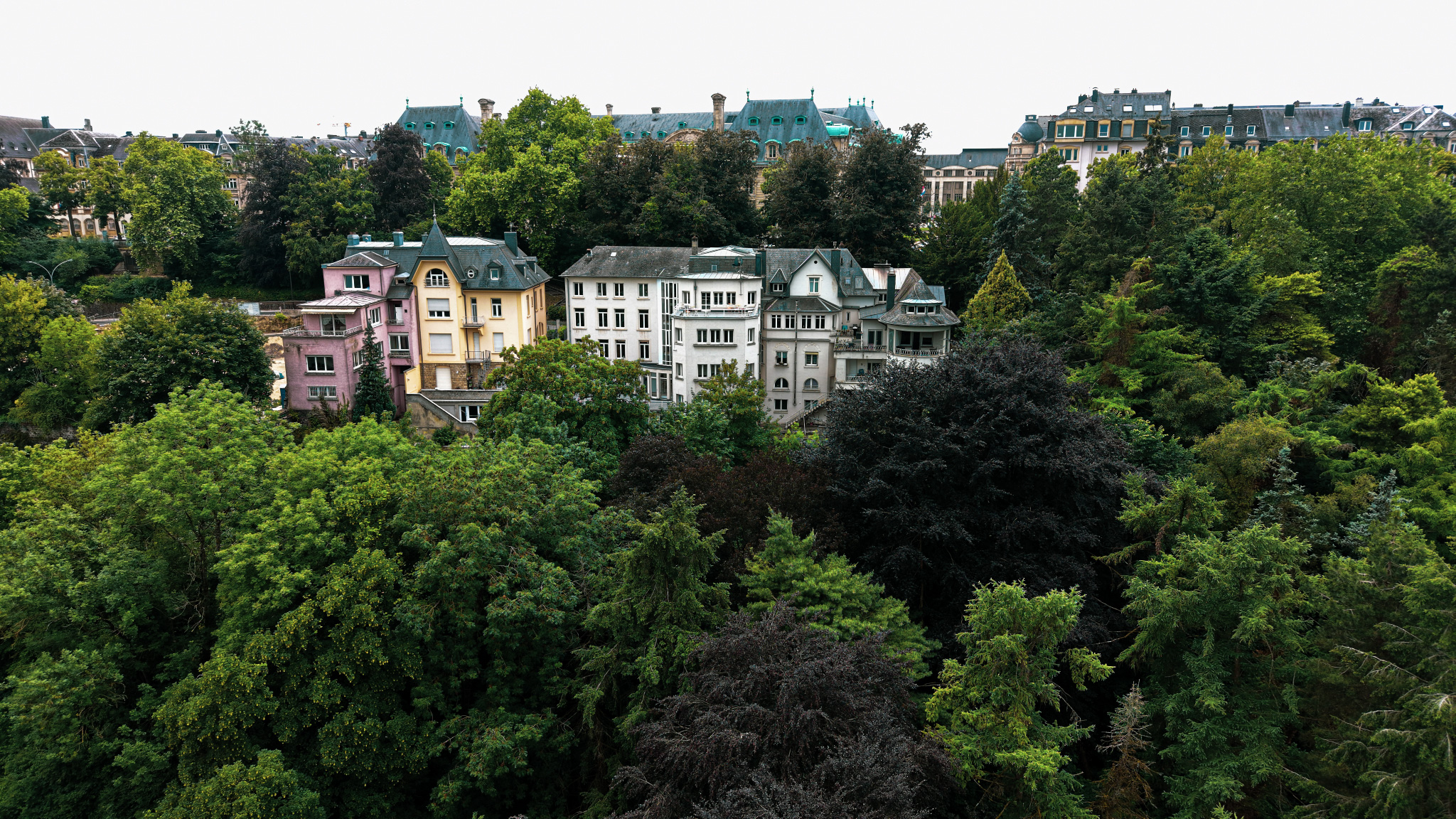
Belle Époque villas on the upper gorge edge. Built after the fortifications came down and the land became available. Pink, yellow, copper green — they face the valley they were built to overlook, now half-consumed by the trees planted to turn the old ditch into a garden.
Print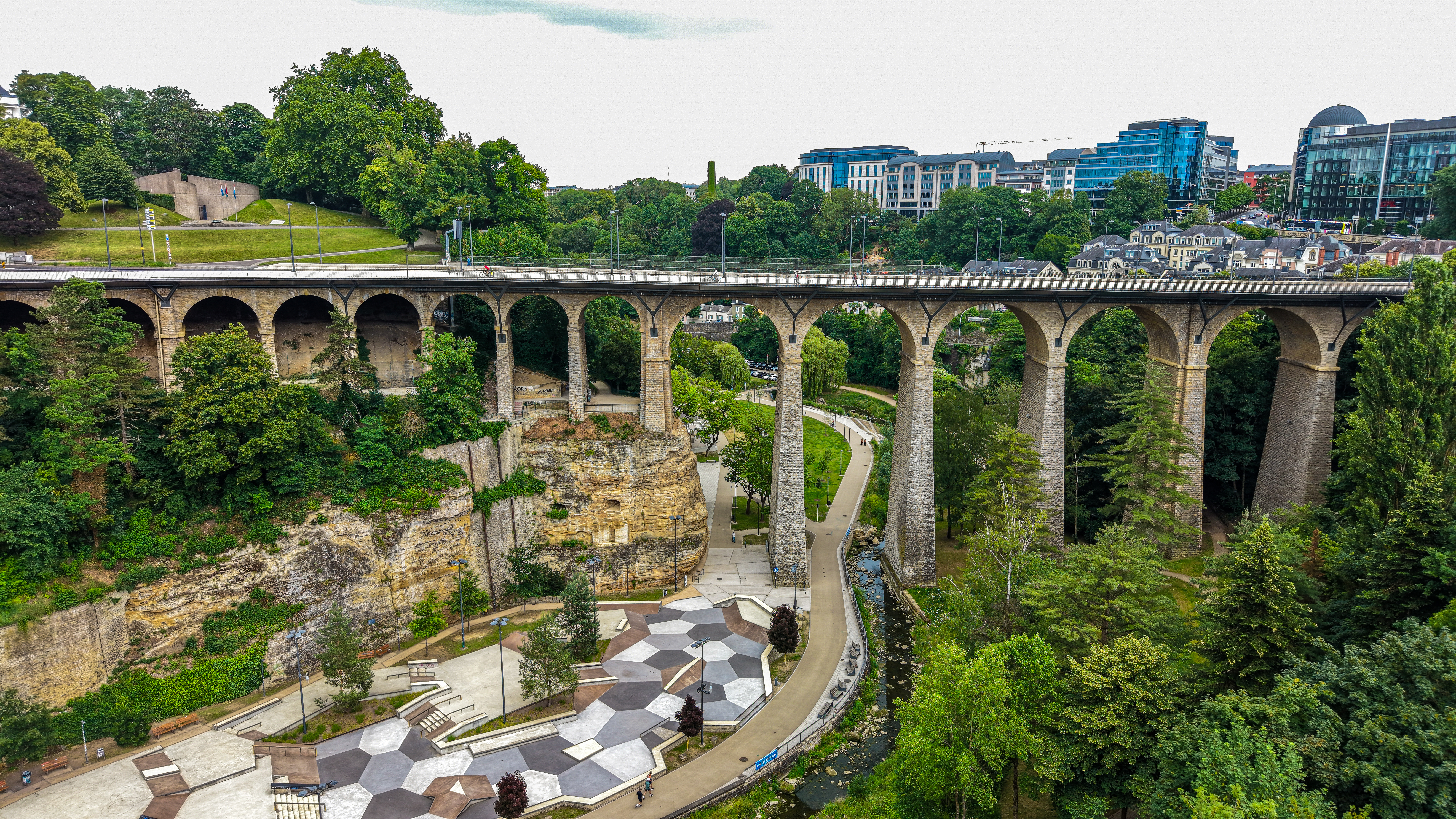
The Passerelle from the side — sandstone cliff face, twenty-four arches, gorge depth. The skate park in the lower left has occupied this shadow since 2021. The viaduct has been casting it since 1861.
PrintFrom the collection